check below if access is allowed
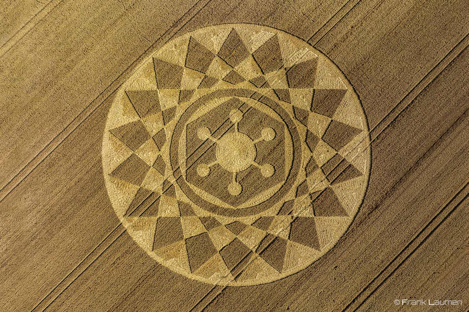
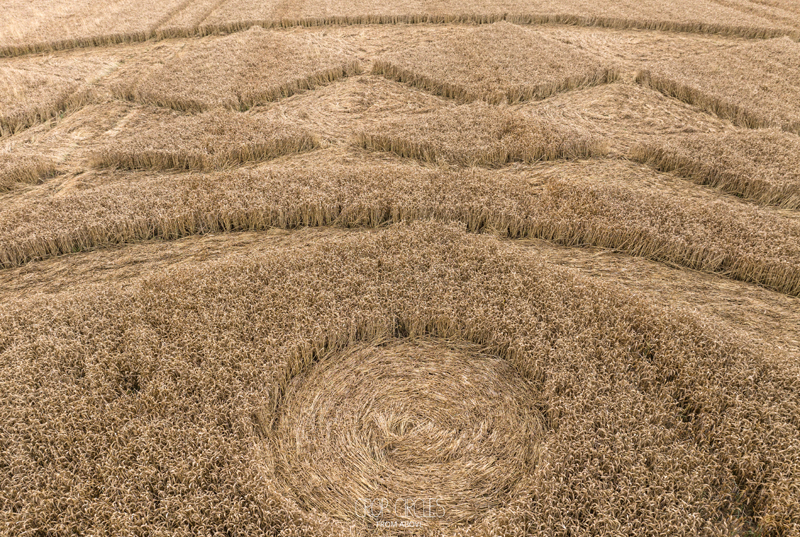
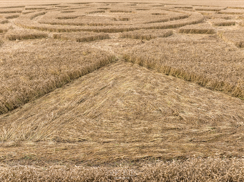
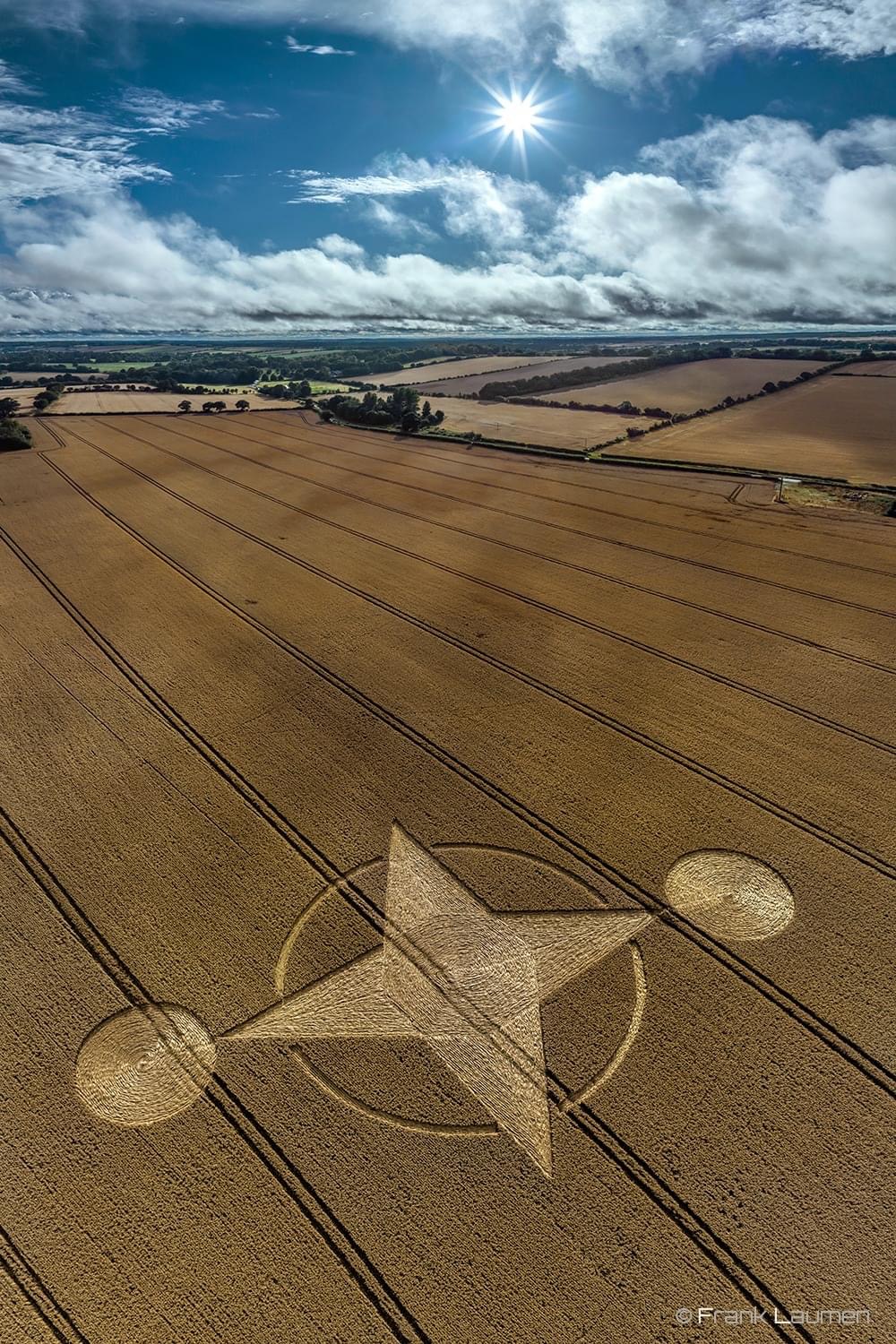
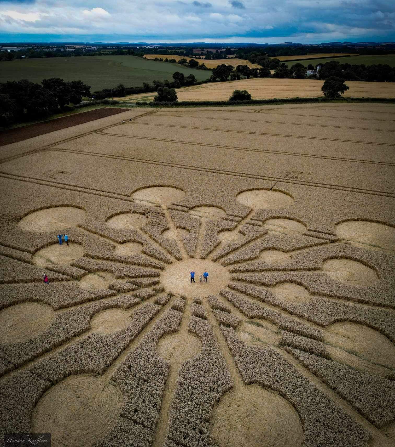
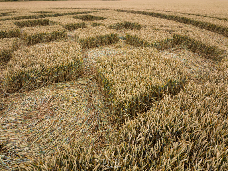
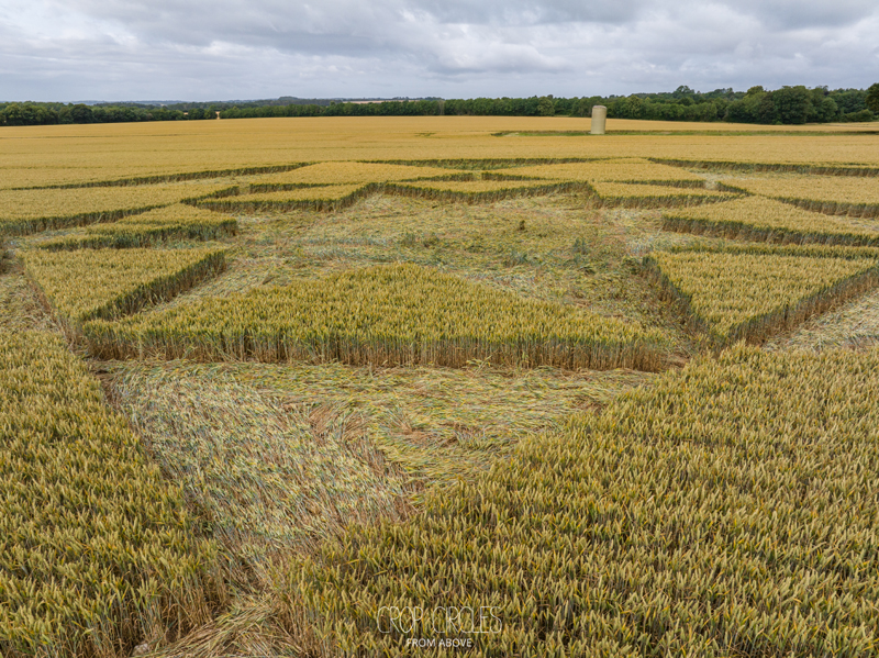
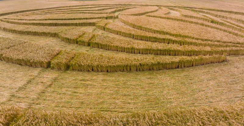
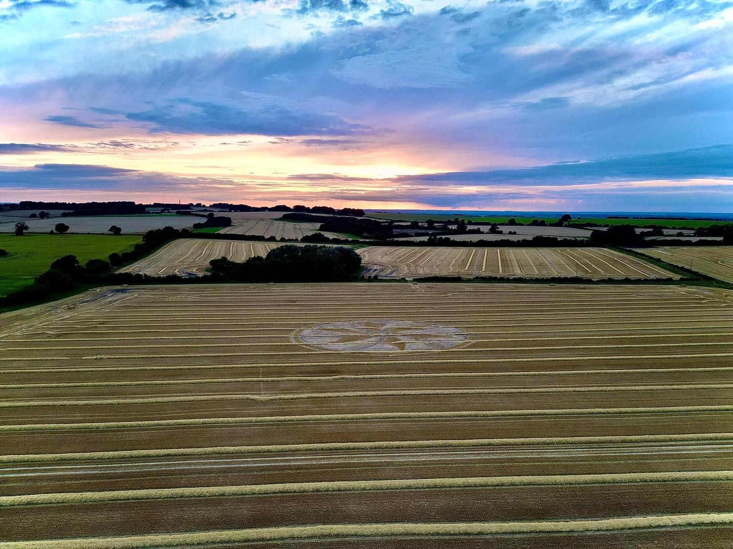
Reported 13th August 2023
Near Devizes, Wiltshire, UK
Size: approx. 90 metres
Crop: Wheat
Photos: Frank Laumen and Stonehenge Dronescapes (below)
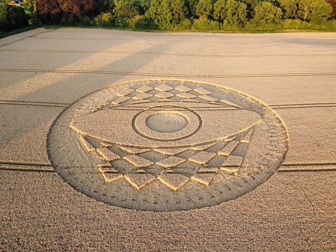
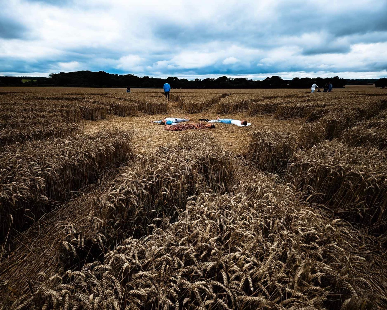
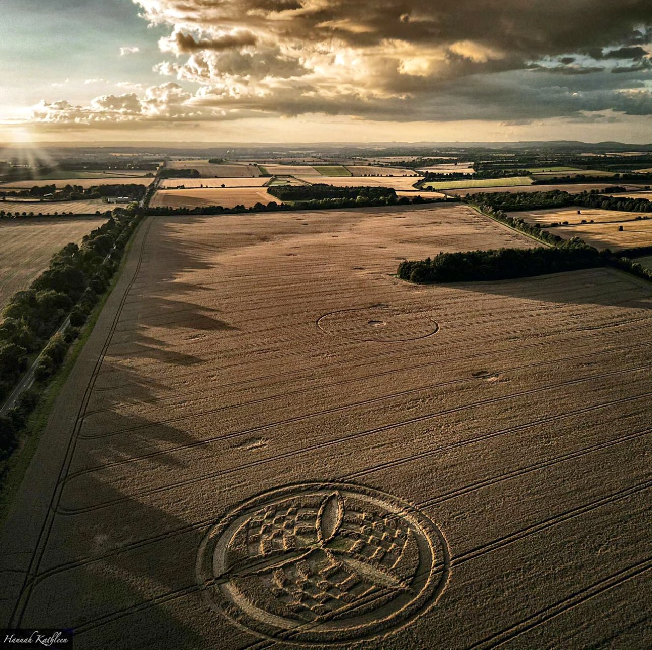
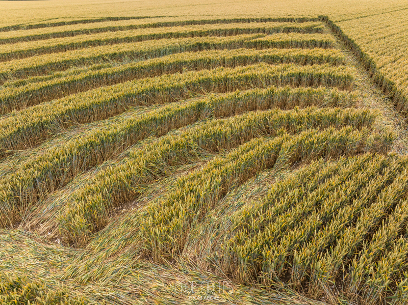
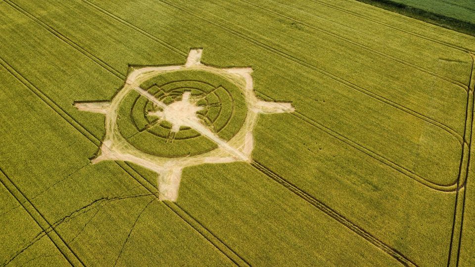
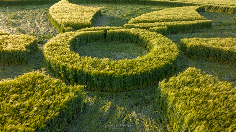
Reported 10th August 2023
Cley Hill, Near Warminster, Wiltshire, UK
Click for Location: ST8435245016
Size: approx. 150 metres
Crop: Barley
Photo © Stonehenge Photography
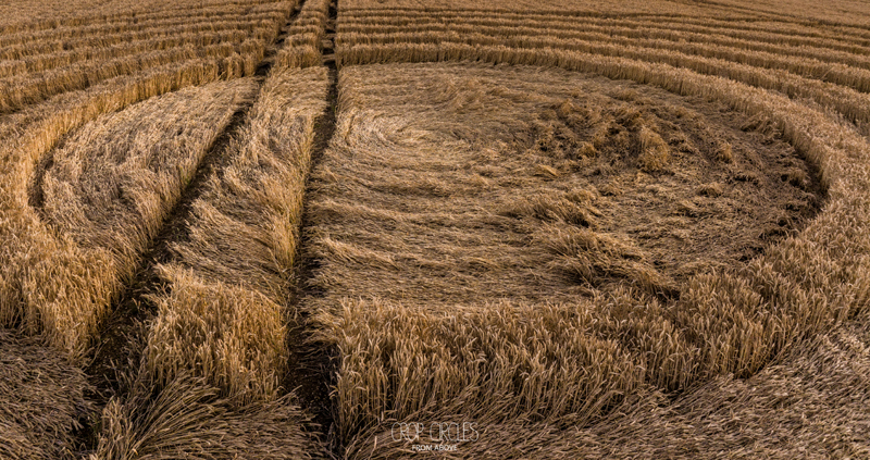
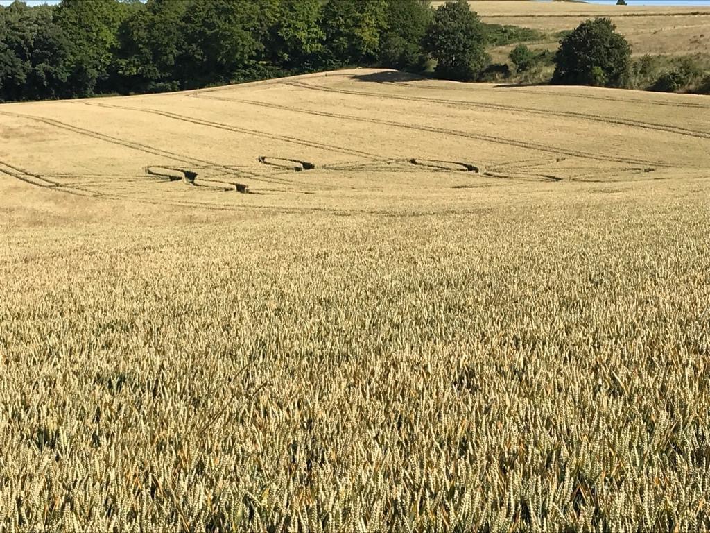
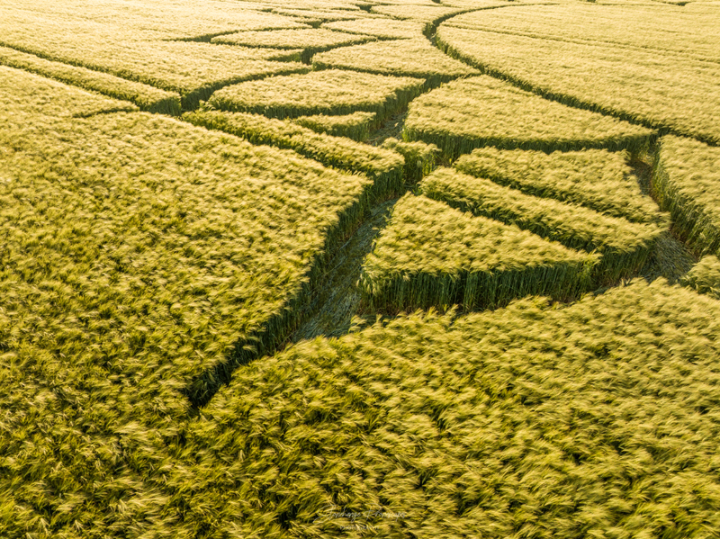
Reported 4th August 2023
Wayland’s Smithy, Near Ashbury, Wiltshire, UK
Click for Location: SU2800385556
Size: approx. 60 metres
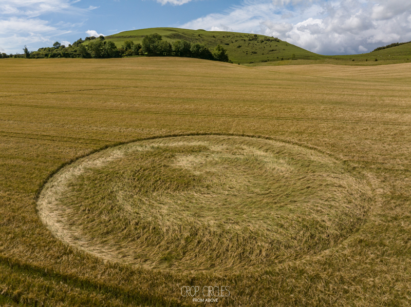
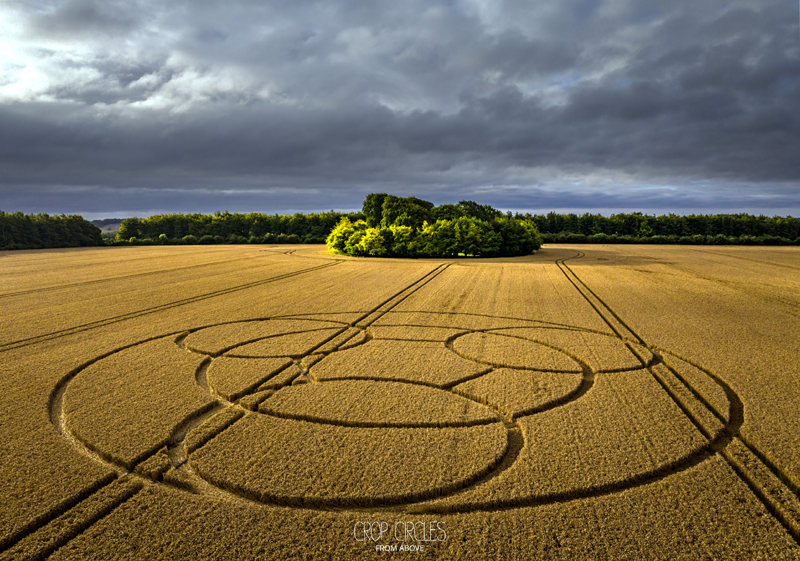
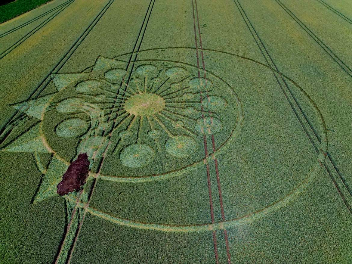
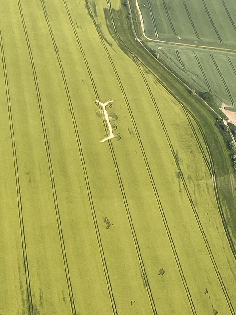
Reported 2nd August 2023
Preston Grange, Preston Andover, Hampshire, UK
Click for Location:SU6024540740
Size: approx. 80 metres
Photo Below: Frank Laumen
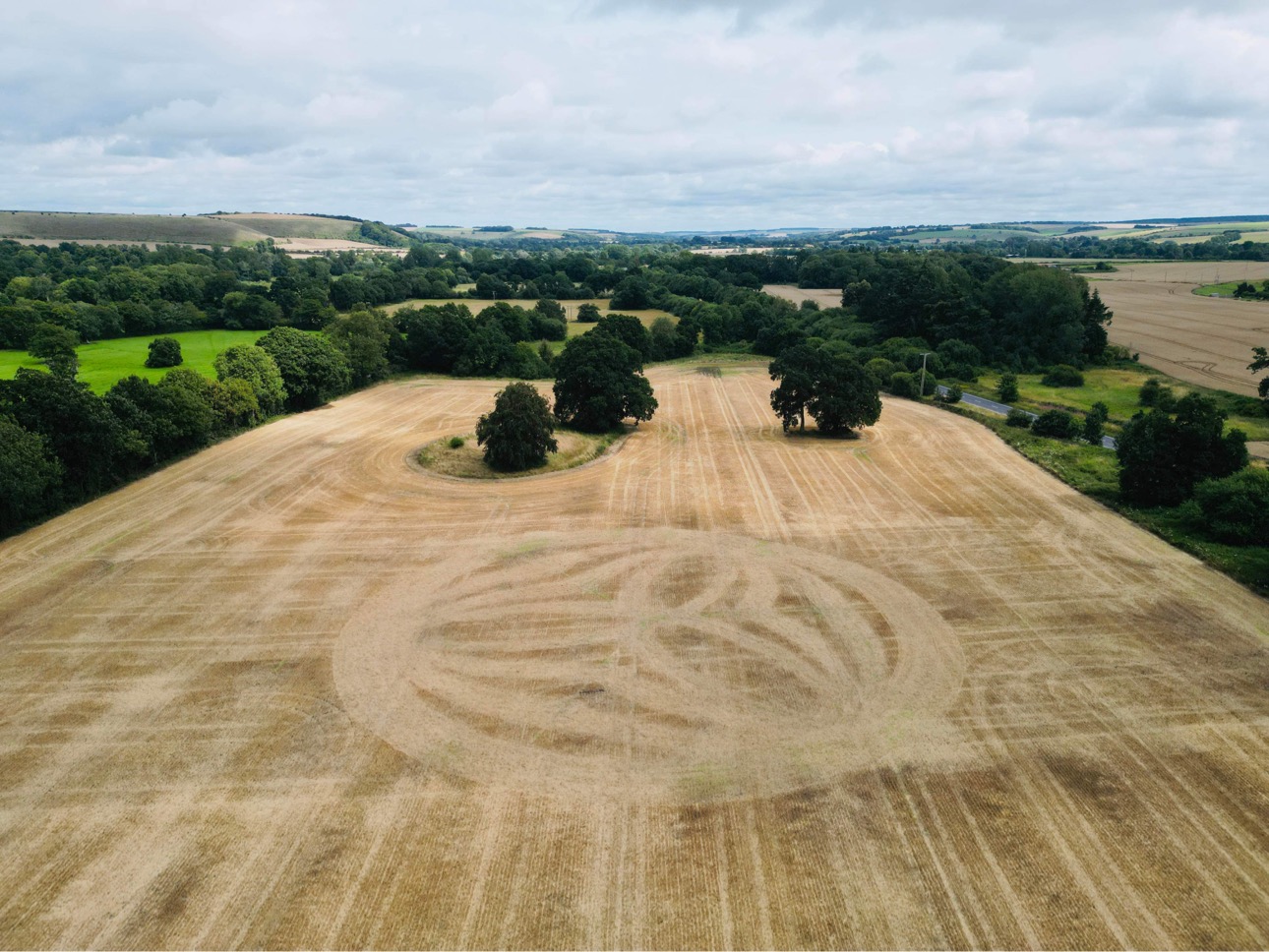
Reported 30th July 2023
Combe Hill, Near Bratton, Wiltshire, UK
Click for Location : ST9092751294
Size: approx. 100 metres
Photo © Stonehenge Dronescapes Photograph
Kitt’s Lane, Near West Meon, Hampshire, UK
Click for Location: 51°02’15.4″N 1°05’24.6″W
Size: approx. 70 metres
Photo © Peter Morris
Reported 25th July 2023
Hatherden Lane, Near Charlton, Hampshire, UK
Click for Location: SU3451848654
Photos below: Hannah Allison
Reported 16th July 2023
Cakebole Lane, Nr Rushock, Worcestershire, UK
Location: SO8803471422
Size: approx. 75 metres
Reported 9th July 2023
Lane End Down, near Beauworth, Hampshire, UK
Location: SU5482326159
Size: approx. 100 metres across
Photo © Stonehenge Dronescapes Photography
Barton Stacey Belt, near South Wonston, Hampshire, UK
Location: SU4430237075
Size: approx. 75 metres across
Next to the existing circle a new one has appeared alongside the band of trees on the righ). Photo © Hannah Allison
Reported 7th July 2023
Norton Plantation, near Norton Bavant, Wiltshire, UK
Location: ST9137443615
Size: approx. 70 metres across
Reported 4th July 2023
Chillandham Lane, Near Winchester, Hampshire, UK
Location: SU5230736412
Size: approx. 80 metres across
Size: approx. 45 metres across
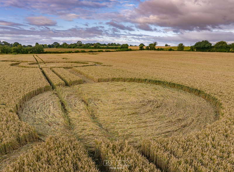
Reported 26th June 2023
Allan King Way, Nr Owslebury, Hampshire, UK
Location: SU5295624573
Update: in orde to discourage people visiting the crop circle it has been defaced and manure has been put in it. Photo © Mark Breen
Reported 18th June 2023
The farmer is asking for donations to help offset some of the loss of his crops. Please donate generously
Bischopstrow, Near Warminster, Wiltshire, UK
Location: ST8949843279
Via what3words: admire.instincts.asteroid
Size: approx. 90 metres across
Photo harvested crop circle: Billy Breen
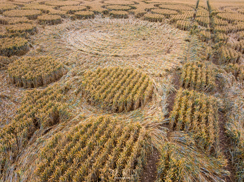
Reported 11th June 2023
Furze Knoll, Near Bishops Cannings, Wiltshire, UK
Photo © Kris Malford
Update: the circle has been defaced by the farmer (see below) Photo: Paul Bates
Reported 7th June 2023
Potterne Hill, Near Devizes, Wiltshire, UK
Location: Google Maps Link.
Reported 4th June 2023
Field Barn, Near, Winterbourne Bassett, Wiltshire, UK
Size: approx. 60 metres across
Update: the circle has been defaced by the farmer (see below) photo © Julian Midder
Reported 28th May 2023
Broad Hinton, Wiltshire, UK
Location: Google Maps Link
Photo © Nick Bull, Stonehenge Dronescapes Photography


